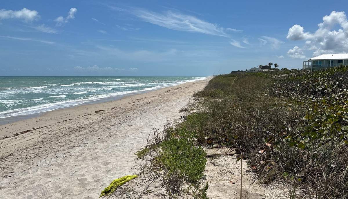
Mean High Water Line Survey
The mean high water line is the intersection of the plane of the Mean High Water tidal datum with the shoreline. The elevation of the MHWL is fixed for given time periods and does not change unless tidal datums are updated. This area of land is recognized and declared to be the boundary between the foreshore owned by the state of Florida in its sovereign capacity and the uplands subject to private ownership.
Reasons for wanting a mean high water line survey:
- Coastal construction
- Boundary ownership determination