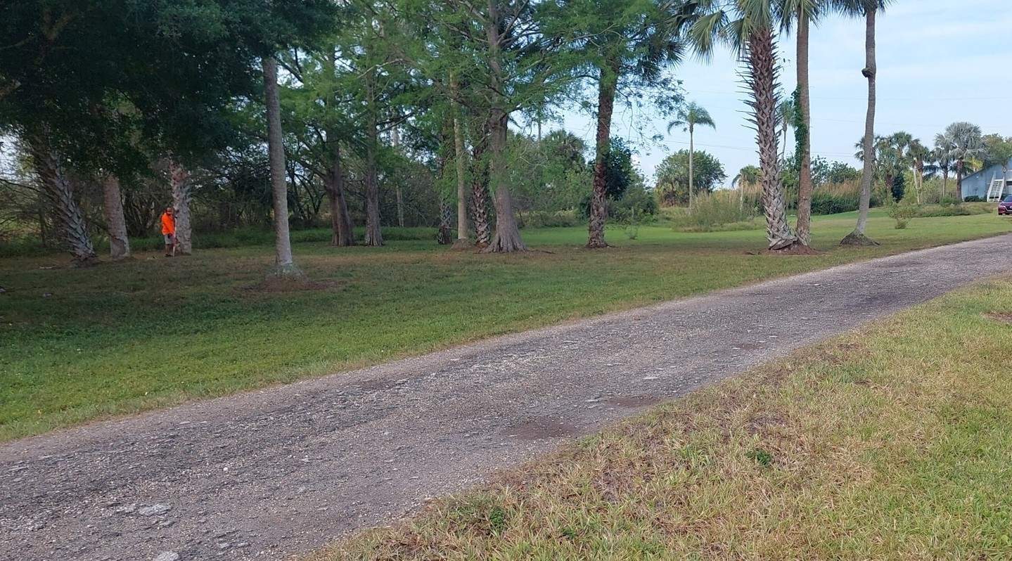
Topographic Survey
A topographic survey locates all surface features of a property, depicting all natural features and elevations. It is a 3-dimensional map showing all natural and man-made features and improvements. Specifically, showing the location size height and changes in elevations across a specific grid.
Reasons for wanting a topographic survey:
- Grading or drainage projects
- Remodeling projects to an existing structure
- New constructions


